As printed on the site
Arches: The Road In, Before the Route Leaves for Hite
Arches is the first national park the homepage counts on the Hayduke. The homepage calls the whole route an extremely challenging 800-mile backcountry route through rugged country, entirely on public land, on the Colorado Plateau in southern Utah and northern Arizona.
The road in is the park entrance, before that backcountry claim takes over. The opening stretch, already grouped as Arches to Hite, leaves the entrance behind. This note stays with that handoff. It does not add a town, and it does not put a bed up for sale at the gate.
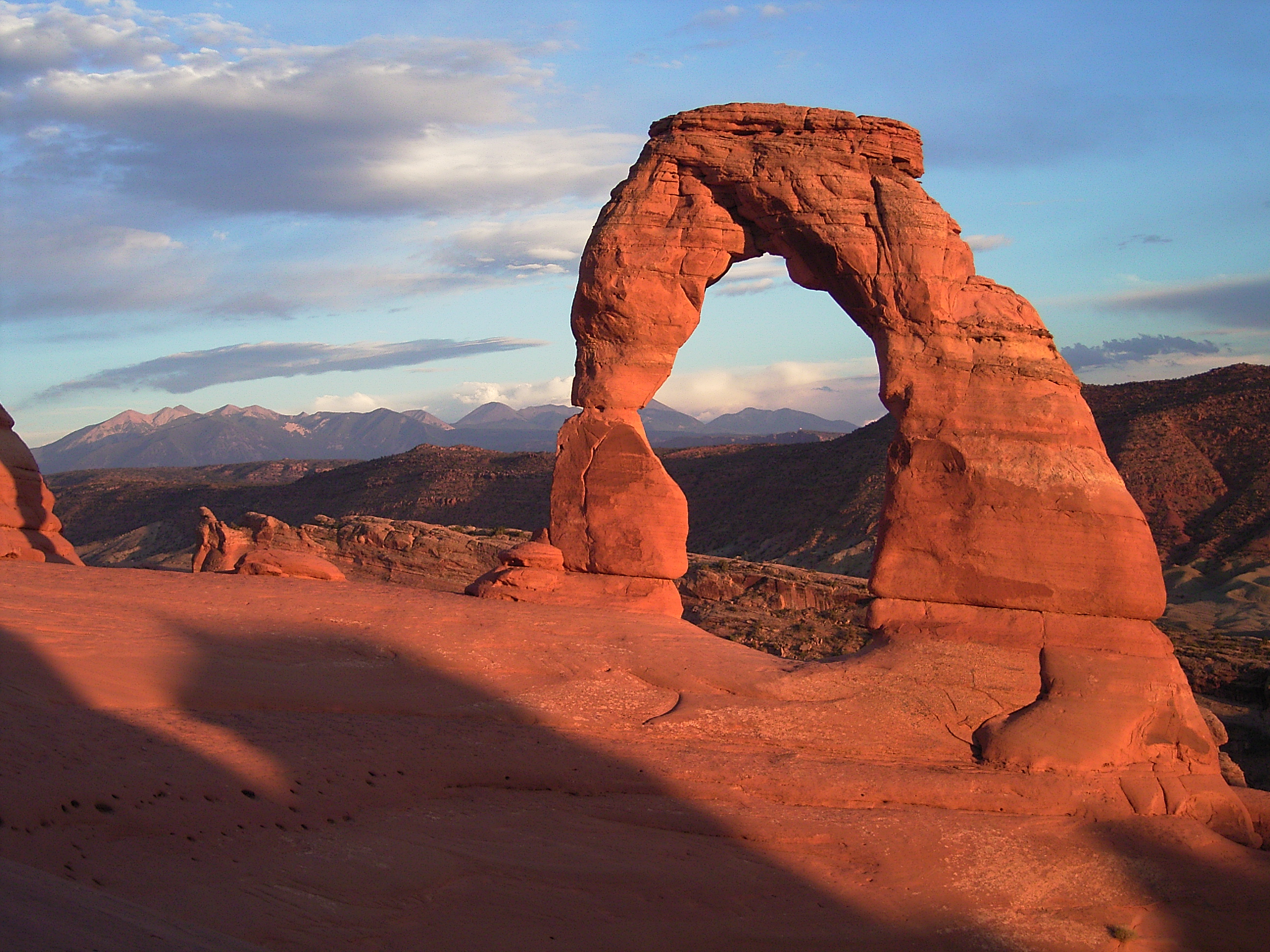
Arches on the six and on the eight
Arches is one of the six national parks in the homepage's sentence, and it is one of the eight units on the links page under Gov. Both pages name it. Neither page describes the gate, the road surface, or a building beside the road. The name is the fact. The entrance is implied by the fact that Arches is a park people enter, and then the route leaves.
The note on six and eight keeps the homepage's count beside the Gov list. Arches is not one of the two extra units. Glen Canyon and Grand Staircase-Escalante are the names that make eight. Arches is a park on both pages, which is why the road in belongs at the start of the route and not in the middle of a canyon.
Starting at a park both pages agree on keeps the road in from depending on the discrepancy. The discrepancy is Glen Canyon and the monument, units that show up later, when the route has already left this entrance. Arches is simply the first park. The homepage's public-land sentence covers what follows. The Gov list's extra names are not required to explain the gate.
The entrance, before the country turns rugged
A park entrance is a place where a road meets the route. That meeting is the honest edge of a day. The homepage's own wording puts the walking in rugged backcountry, entirely on public land. The entrance sits on the near side of that wording. A night can exist there, outside the backcountry, because the park is a named unit with a way in.
The pages do not name the night. They do not name a rate, a room, or a business on the road. Saying the entrance is where a day can end is not the same as stocking the roadside. The site points outward for a guidebook, for route corrections, and for water-source status. It does not carry an official guidebook of its own, and it does not carry a list of beds at Arches.
Extremely challenging is the homepage's phrase for the walking, not for the act of arriving at a park boundary. A person can meet the route at the entrance and still take the warning seriously the moment the tread leaves the road. The warning and the entrance are neighbors. They are not the same kind of ground, which is why a night fits one of them.
Sections that leave the entrance for Hite
The earlier note from Arches to Hite already groups the first three sections as one stretch, from the park to Hite. This page does not reopen those sections canyon by canyon. It marks the shape: a park at the start, public land and backcountry after the entrance, and Hite as the named far end of the group.
Hite is where a later note picks up a road and the Glen Canyon shore. Between the Arches entrance and that shore, the homepage's claim holds: rugged country, entirely on public land. The first sections are not described here as a string of stops. They are the leaving. The entrance is the stop a day can actually use, because it is a park entrance and not a wash.
Three sections is a long leaving. The earlier note already refuses to treat that leaving as a chain of towns, and this page borrows that refusal. Public land, rugged country, and the 800-mile scale are the only frame the opening needs once the entrance is behind. Hite is far because the sections are long, not because a new settlement has been declared at the shore.
A photo file, and only the name
The site carries a photo file named indian_creek_petroglyphs. The filename names Indian Creek and names petroglyphs. It does not name a town, a roadhouse, or a price. A filename is a label on a picture the site already has. It is not a junction, and it is not a water report.
The file sits in the same broad country as the opening sections, the country the Arches-to-Hite note already walks in outline. This page will not pretend the filename is a map of that walk. It will not invent a caption beyond the words in the name. Indian Creek, in that filename, is a place-name inside the route's early country. It is not an invitation to add services the pages never printed.
Indian Creek, read straight off the filename indian_creek_petroglyphs, belongs to the country after the entrance, with the petroglyphs the filename also states. That is a cultural mark on rock, not a services sign. The file does not relocate the night back into the canyon. The night stays at the road in. The picture, whatever the frame holds, stays a file the site already named.
What the road in does not come with
The homepage does not print a town at the Arches end. The Gov list does not print one either. The earlier sections note does not turn the entrance into a street. A reader looking for a named bed will not find it in any of those places. The absence is the point of this note: the road in is real because the park is real, and the bed is not a fact on these pages.
Water notes dated 2008 exist elsewhere on the site, and they include Willow Spring. They are not rewritten here as a reason to stay at the entrance, and they are not given a volume. The entrance matters because it is the last road before the route commits to the backcountry of the first sections, not because a spring was measured beside the gate.
Canyonlands is the next park the homepage counts, and it too is an entrance somewhere along the early sections, not a town inserted between Arches and Hite. This page does not describe that second gate. The road this note will stand on is the one at Arches, before the route commits.
Leaving, with Hite as the named far end
Once the route leaves the entrance, the day is the backcountry the homepage already described. The next honest place a day can end, inside this opening group, is Hite, where the route meets a road and the shore of Glen Canyon. That meeting is the subject of the note on Hite. It is not a second entrance to Arches.
The fourteen-section note is the list that holds this opening in the full sequence. Arches is the start of that sequence. The road in is how a person meets the start without already being in the backcountry. After that, the pages return to rugged public land, and they still do not name a bed along the way to Hite.
Glen Canyon National Recreation Area is the unit waiting at that far end, on the Gov list and outside the count of six. Reaching it does not reopen the Arches gate. The walker has crossed public land the homepage already included in the route. The next note can take the shore. This one ends when the entrance has been named and the leaving has been pointed at Hite.